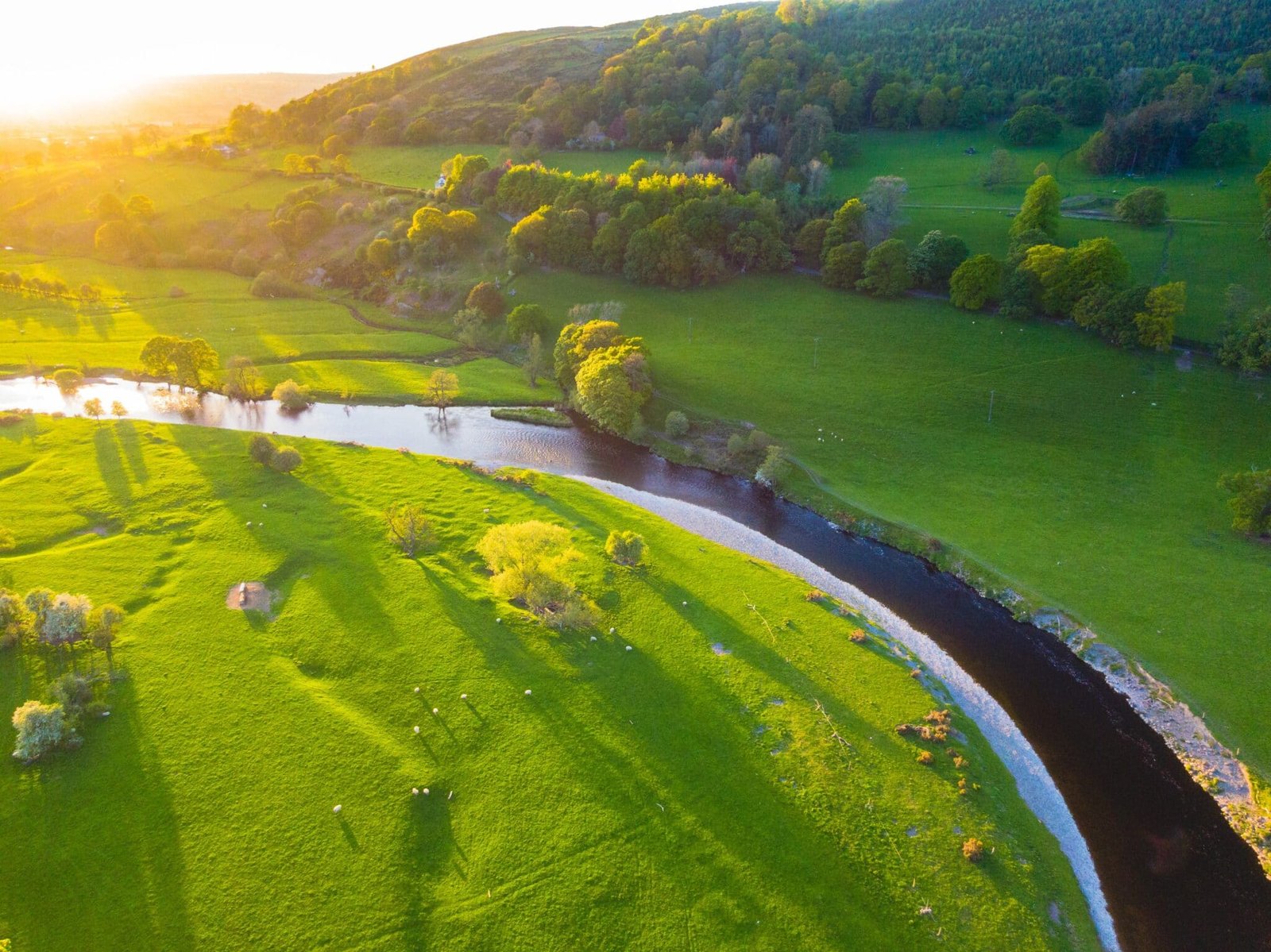
Denbighshire, also known as Sir Ddinbych in Welsh, is a county in northern Wales that stretches inland from the Irish Sea coast. The Vale of Clwyd along the River Clwyd and an interior area between the Clwydian Range in the east and the Clocaenog Forest in the west that ascends to the Berwyn mountains in the south make up the current county of Denbighshire. The ancient county of Flintshire includes the lower Vale of Clywd and the seacoast (Sir Fflint). The old county of Merioneth owns the southernmost section of the current county, which borders the Berwyn range (Meirionnydd). The ancient county of Denbighshire, which also includes the eastern portion of the county borough of Conwy, most of the county borough of Wrexham, and a tiny northern piece of the county of Powys, includes the remaining middle area of the modern county. Ruthin is the administrative centre of the county.
Since ancient times, the Vale of Clwyd and the upper parts of the River Dee have been centres of human habitation. The hill fort of Pen-y-Corddyn, discovered in the hills immediately south of Llanddulas, shows evidence of Iron Age habitation. Two Roman roads ran through the mediaeval county of Denbighshire, which was the site of an important ancient route along the North Wales coast. The Romans may have mined lead in the region, according to evidence. A portion of Offa’s Dyke, an earthwork that defined the border between Wales (west) and England (east), may be found in the southeast (east). The magnificent, ruined Valle Crucis Abbey (built by the Cistercians c. 1200) in Llangollen is one of the county’s mediaeval monuments.